Lot line adjustments and lot line splits are two distinct legal applications that involve a City and/or County for various reasons, and one should not be confused or conducted without first understanding the implications of each. This article is not intended to be an in-depth discussion of the Subdivision Map Act or the Subdivided Lands Law.
Lot Line Adjustments and Splits in California:
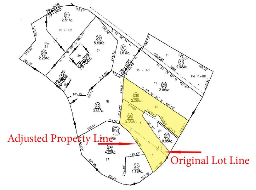
A lot line adjustment in California allows property owners to modify boundaries between four or fewer adjoining parcels of land. This guide covers everything you need to know about lot line adjustments, parcel splits, the Subdivision Map Act, and parcel certification requirements in California. Whether you’re looking to adjust property lines, split a parcel, or understand the legal process, we explain the steps, costs, and timeline involved.
Generally speaking, this is a modification of a boundary line between adjacent legal parcels where the modification complies with statues wherein: 1) no new parcels are created, and no existing parcels are deleted; 2) no parcel is reduced below the minimum lot area required by the zoning in the particular County; 3) the proposed adjustment is exempt from the Subdivision Map Act, and no tentative map, final map or parcel map, shall be required as a condition to the approval of a lot line adjustment; and 4) the public rights-of-way are not altered without prior approval of the appropriate governmental body of benefit to the public.
A lot line adjustment may be used to create a lower amount of parcels, going from two to one for example, or retain the same number while altering their boundary lines. Regardless, no single lot can be created with lesser square footage than that allowed under the local zoning code. This process may not be used to increase the number of parcels, say from one to two.
Requirements:
California statute sets forth some of the necessities for lot line adjustments, but the appropriate locality will primarily control the ultimate guidelines via the zoning and applicable building codes. Planning departments will have applications available and describe the necessary fees involved. Please note that any fees submitted will not be refundable, even if your application is ultimately not approved. As mentioned, lot line adjustments are exempt from the California Subdivision Map Act discussed below.
The local planning department will request that either a civil engineer and/or land surveyor create a new legal description of each lot affected. The resulting parcels must conform to the zoning and building codes and any other additional requirements such as public utilities, infrastructure, and easements. Once you get through the process, a Certificate of Conformity will be issued, and is a necessity for several reasons. A Certificate of Compliance is basically to provide the property owner and subsequent purchasers with a record of the county’s determination that a parcel was legally created. Such a certificate does not ensure that the property may be built upon, nor does it grant any rights to construction or other permits.
Lot Line Splits:
The above should not be confused with a lot split which is a separation of one Assessor’s parcel into two or more, for Assessor’s parcels needs, resulting in separate tax bills for each. Simply put, taking one large parcel of land and making several smaller ones. A lot line split is synonymous with subdividing, and requires the implementation of the Subdivision Map Act for five or more parcels created.
Subdivision Map Act:
The Subdivision Map Act requires one to obtain subdivision approval from the local government entity by anyone who offers to sell or lease any part of a “subdivision.” The noncompliance of which may result in civil or criminal sanctions. As per California statute, a subdivision is defined as the division of any unit or units of improved or unimproved land, or any portion thereof, shown on the latest equalized county assessment roll as a unit or as contiguous units, for the purpose of sale, lease, or financing, whether immediate or future.
“The purpose of the Subdivision Map Act is to regulate and control design and improvement of subdivisions with proper consideration for their relation to adjoining areas; require subdividers to install streets and other improvements; prevent fraud and exploitation; and protect both the public and purchasers of subdivided lands.” (Pratt v. Adams (1964) 229 Cal.App.2d 602.)
In short, the Subdivision Map Act codified is the approval process to subdivide land. Unless a specific exception or waiver applies, every subdivider must obtain city and/or county approval of a “map” depicting the proposed lots configuration and any exaction, (a requirement that specific improvements, payments, or other benefits to the public to help offset the impacts of the project)
Requirements:
Any subdivision which falls under the Subdivision Map Act must comply with the localities’ general plan and the specific requirements outlined in the zoning code. Generally speaking, you will be required to file a final parcel or subdivision map. The Subdivision Map Act is required if the result will create five or more new parcels, condominium units, community apartment projects, or a stock cooperative, a tentative map is usually required first.
Note:
Upon reviewing a parcel/Plat map, if your parcel of land is represented by a dashed line, it was not created by a parcel map, tract map. In turn, it may have been created by a parcel map waiver or by deed, and it may, or may not, have already received a Certificate of Compliance. The only way to be sure whether or not a Certificate of Compliance has already been issued for such a parcel is to do a preliminary title search showing its existence, and other noted relevance to the subject property. The alternative would be to apply for your own Certificate of Compliance when applicable, which depending may or may not be granted depending on its creation.
Please see our other related articles
Holding Title to Property
Subdivision Map Act
Why Use Bushore Real Estate
Legal Parcels of Land
Frequently Asked Questions
What is a lot line adjustment in California?
A lot line adjustment is a process that modifies the boundary lines between four or fewer adjoining parcels of land. No new parcels are created. It’s used to make minor revisions to property lines between existing legal lots.
How much does a lot line adjustment cost in California?
Costs vary by county but typically range from $2,000 to $10,000 including survey, application fees, and engineering. Contact your local planning department for specific fees.
What is the difference between a lot line adjustment and a lot split?
A lot line adjustment changes boundaries between existing parcels without creating new ones. A lot split (subdivision) divides one parcel into two or more new parcels and requires compliance with the Subdivision Map Act.
What is a parcel certification?
A Certificate of Compliance confirms that a parcel was legally created. It provides property owners and future buyers with a record of the county’s determination that the parcel meets legal requirements.
Disclaimer: Every situation is different and particular facts may vary thereby changing or altering a possible course of action or conclusion. The information contained herein is intended to be general in nature as laws vary between federal, state, counties, and municipalities and therefore may not apply to any given matter. This information is not intended to be legal advice or relied upon as a legal opinion, course of action, accounting, tax or other professional service. You should consult the proper legal or professional advisor knowledgeable in the area that pertains to your particular situation.